The Greater Hobart Bushfire Exposure Index is a direct exposure model for residential buildings, assessing potential bushfire exposure based on surrounding vegetation and topography. It is a valuable tool for enhancing bushfire preparedness.
This model does not encompass all factors influencing bushfire risk, such as ember attack, access routes, or the age and construction type of buildings. It is essential to use the Index alongside other risk assessment tools and local knowledge for a comprehensive understanding of bushfire risk and informed decision-making for community safety and resilience.
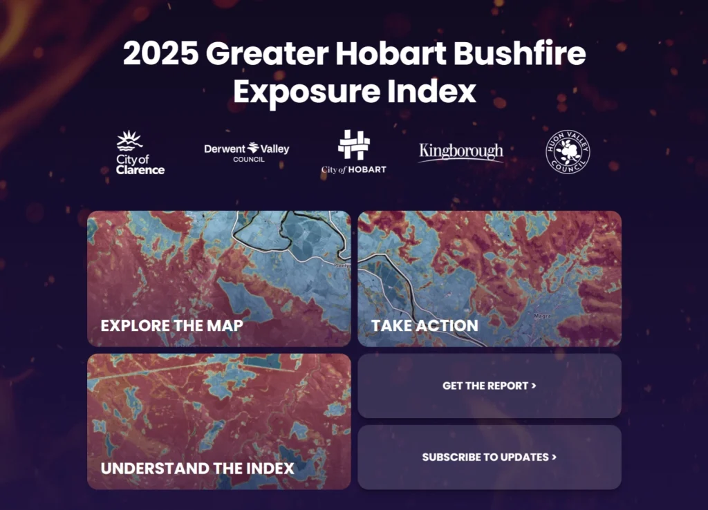
Explore the Greater Hobart Bushfire Exposure Index to assess your property’s bushfire exposure.
Understanding the index
The Greater Hobart Bushfire Exposure Index is built from two complementary layers:
- Wildfire Severity Index (WSI) — a landscape layer that ranks where severe fire is most likely if a fire occurs, based on fuels, terrain and long-term dryness. WSI is calculated as a continuous surface and then published as easy to read classes 1–10.
- Wildfire Exposure Index (WEI) — a building level measure of exposure to nearby fuels, computed from the WSI around each building and also shown on a 1–10 scale.
This asset centred approach is designed for preparedness and mitigation planning rather than real time fire spread prediction.
In life threatening emergencies always call triple zero (000).
- For current bushfire incidents and warnings, visit TasALERT.
- To check the current fire danger rating in your area, visit the Fire Danger Rating Forecast.
- For information on total fire bans, fire permits, and burn registrations, visit Fire Bans, Permits, and Registrations.